
Start a Union Township Street Directory Search
For a named Union Township street, begin with the Clermont County Auditor combined property search. Record the physical, or situs, address, the parcel identification number, legal description, and owner field as separate facts. Carry the PIN and legal description into the county map and the Recorder search. A tax mailing address is only the place where a tax notice goes. It is not proof that the recipient lives on the Union Township parcel. This order also avoids a common local error: a Cincinnati, Amelia, Batavia, or Milford mailing label can be attached to land that lies in Union Township.
- Enter the number and street in the Auditor address mode, then save the PIN, situs address, legal description, and the current public ownership field.
- Find that PIN in General Mapping and identify the target polygon and its immediately adjoining parcels.
- Open the Auditor record card for a sale date, tax district, map, survey, and any listed permit information.
- Use the owner or other deed party in CountyFusion, then compare the legal description, lot, or plat before treating two records as the same land.
- For a particular person already known by name, use Ohio My Voter Information with the required name and Clermont County fields. It is not a public street-browse roster.
- For an older household question, move to rural directories, tax duplicates, historic maps, and the Records Center rather than guessing from a modern number.
Ownership and recorded transactions are public record categories. They do not establish every person who occupies a property. The street-by-street sequence is strongest when it preserves a land identifier and records each source’s date.
Union Township Street Directory Field Controls
The Auditor’s address mode separates an address into number, direction, street, and suffix. Its combined mode is useful after a broad street result needs to be narrowed. Partial entries and the asterisk wildcard are supported in the modes documented by the county. A street-only search can reveal property records along a road, but a result remains a parcel record, not a street directory of people. The result list can sort by parcel ID, owner name, parcel address, last sale, or price, and the address mode adds unit number.
| Auditor field | How it works | Useful street-directory purpose |
|---|---|---|
| No, Direction, Street, Suffix | Address components with street-only and wildcard guidance | Find a specific parcel or inspect a road segment. |
| Owner name | Last-name/first-name format; partial name and * guidance | Return to a parcel after a deed party is known. |
| Parcel ID | All or part of the ID is accepted | Keep the same land record connected across county systems. |
| Legal and Book/Page | Optional combined-search fields | Check land wording against a recorded instrument. |
| Postal Code | Optional combined-search field | Narrow parcels by postal field, not residents by ZIP. |
| Permit Flag and neighborhood fields | Optional combined-search controls | Locate property records that warrant a permit or area review. |
A parcel is the county’s unit of land record. A situs address is the property’s physical location. The legal description identifies the land through a lot, plat, metes-and-bounds, or related formal description. Those three items make a Union Township street directory search more reliable than a mailing city alone.
Source image: the Auditor combined search shows the address-oriented public search screen.
The form is a practical first stop because it can pass a street number into a durable parcel and legal-description trail.
Map Union Township Streets by Parcel
The county’s Interactive Maps catalog directs researchers to General Mapping, where address, parcel ID, owner, and road searches are documented. The map supports identify pop-ups, layers, aerial and street basemaps, measuring, drawing, and printing. Search with fewer characters when a full address returns nothing. County guidance gives examples such as an address number with an initial street fragment and an owner surname plus initial. The road query is a road field, while the parcel query begins with the PIN.
Use the map to see the target polygon, not to infer a household. Select adjoining polygons only when they share a boundary, record their PINs, then open the Auditor hyperlinks for each record. The mapping layer can show roads, zoning, flood-related information, township context, and other changing layers. Physical adjacency does not prove a personal relationship, common household, or current residence.
Source image: the county’s Interactive Maps page is the entry point for the parcel-mapping tools.
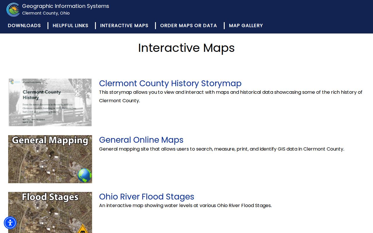
Mapping is most useful after the Auditor has supplied a PIN, because it keeps a street search tied to the right land polygon.
Union Township Street Directory Record Sources
Several public sources can be keyed to an address, but each answers a different question. The Auditor owns the parcel and ownership context; General Mapping supplies the spatial context; the Recorder holds recorded instruments; and permit systems show a dated property activity trail. The Recorder advises users who have only a parcel number or no owner name to start with the Auditor. That handoff is especially valuable in Union Township, where core county offices are in Batavia rather than at the township’s postal labels.
| Address-linked source | Custodian | What it can establish | Access route |
|---|---|---|---|
| Parcel and tax record | Clermont County Auditor | PIN, owner field, situs and mailing fields, legal description, value, sale, tax, and building details | Current public online record. |
| Parcel and address layers | Clermont County GIS | Parcel geometry, road and address context, mapped relationship, and Auditor link | General Mapping and county downloads. |
| Recorded deeds, plats, and instruments | Clermont County Recorder | Recorded parties, document type, recording date, and land-description trail | CountyFusion for documents recorded since 1980; counter and archives for older material. |
| Permit, plan, or inspection | Permit Central and Township Planning and Zoning | Property activity, application or issue date, work category, and address context | Public material from January 2019 forward, with township approval questions handled separately. |
| Historic rural directories and maps | CCPL, CCGS, and township sources | Post office, road, acreage, community, and historical land context | Library-use volumes, digitized material, and historic maps. |
| One-person voter check | Ohio Secretary of State | A known person’s registration and polling-place context | Required first name, last name, and county fields; no street browsing. |
Keep the public source and its limitation together. A parcel card may show an owner, a Recorder index may show parties to a deed, and a map may show adjoining land. None of those records is a full current-resident roll.
Union Township Street Directory Deed Trail
The Clermont County Recorder maintains the permanent land-record trail, while CountyFusion is its public real-estate search entry. The Recorder says online real-estate documents begin in 1980. For a recorded transfer, search the party name broadly when spelling or a first name is uncertain, then compare document date, type, property details, and the Auditor record. The Recorder’s own guidance says name-only searching is most complete and recommends entering less detail when needed.
A deed can show the transfer parties and recorded land description, not current occupancy. Search a seller as an earlier grantee only after confirming the legal description or lot and plat. For older material, ask the Recorder or Clermont County Records Center and Archives which office holds the retained record. CCGS indexes add an older deed route for 1800 through 1880, while the Recorder and archives preserve the county’s physical material.
Note: CountyFusion’s online cutoff makes a blank document search a reason to use Batavia’s physical and archival channels, not proof that no earlier land record exists.
Union Township Street Permits and Zoning
Address history can also appear in Permit Central Citizen Self Service. Select Permit, Plan, or Inspection, then use the record number when known or search by address or parcel ID. Public Building Inspection and Public Health permit and inspection material is documented from January 2019 forward. A detailed county permit report demonstrates fields for permit number, application name, address, work type or class, declared value, square footage, application date, issue date, certificate date, and owner-primary.
For a Union Township street, the county system does not replace township zoning review. The Township’s Permits and Forms page links planning and zoning forms, maps, resolutions, complaints, variances, and fee material. Township Planning and Zoning may need to approve a proposal before a county permit moves ahead. Read a permit as evidence of a dated property activity, not as a list of all people at the address.
Source image: Union Township permits and forms provides the township-side route for planning and zoning material.
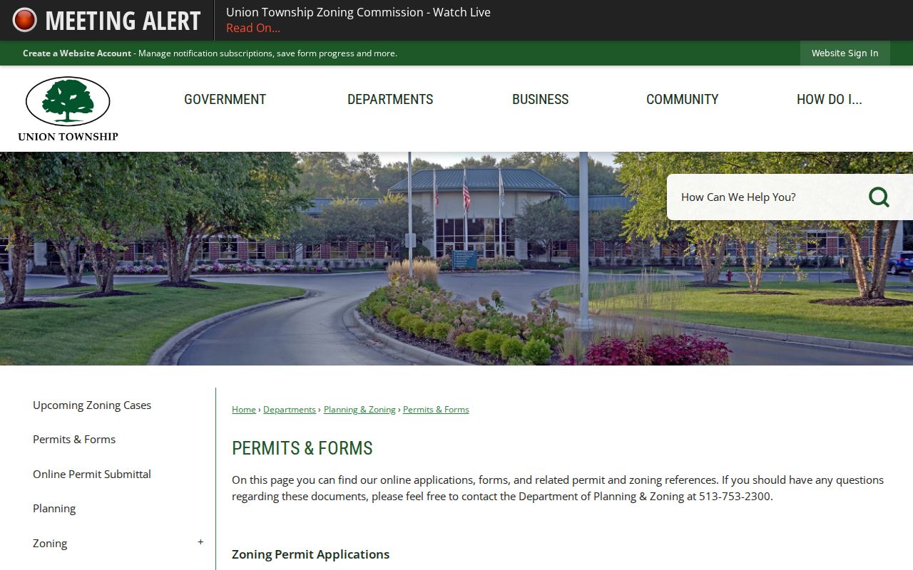
The township links help distinguish a zoning or approval question from a county property-record search.
Source image: Permit Central shows the public starting point for permits, plans, and inspections.
Use an address or parcel ID to connect the permit search to the same Union Township land record already identified in the Auditor system.
Postal Labels in the Union Township Street Directory
Postal city is not township jurisdiction. Official township material documents Union Township locations carrying Cincinnati, Amelia, Batavia, and Milford labels. The USPS address lookup can verify that a particular deliverable address and postal label match, but USPS cautions that the service does not verify a person or organization at that address. Verify the jurisdiction separately in the Auditor record and the GIS township layer.
The difference matters along the township’s suburban and older rural corridors. Eastgate, Ivy Pointe, Glen Este, Mt. Carmel, Round Bottom, Tealtown, Withamsville, and other community names can appear in planning or historic material. A modern postal label should therefore be recorded as one address field, not substituted for the land’s township, parcel, or legal description.
Note: A ZIP or mailing-city match locates postal delivery information, while the county GIS and parcel records identify the government jurisdiction for a Union Township street.
Union Township Street Names and Continuity
When a historic address fails to line up with a current road, do not assume that Union Township had a system-wide renumbering. Research found no official evidence of one. Older rural sources commonly describe a post office, township, road, acreage, plat, or landmark instead of a modern street number. The safe bridge is a legal description, PIN, plat or deed reference, tax duplicate, historic map, and the historical community name.
The Recorder’s documented instrument categories include annexation petitions, street-name changes, centerline surveys, and vacations of streets or alleys. A June 13, 2023 township agenda records the vacation of part of Banks Road. That is a real continuity lead for that road segment, not evidence of a broad renumbering program. Planning and Zoning and the Recorder are the appropriate channels for a road, plat, resolution, or vacation question.
Source image: the Union Township maps page supplies a local route to historic township mapping.
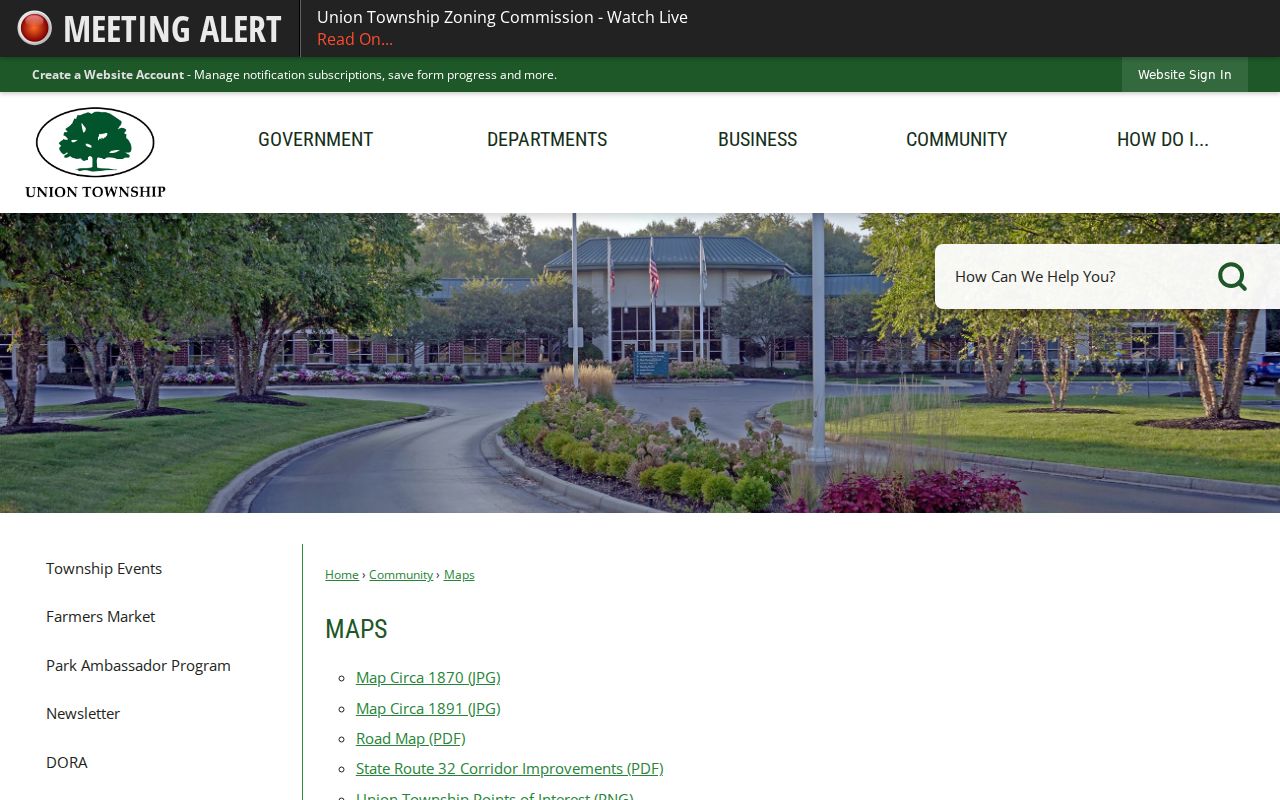
Historic maps can help align a road, community, and property-owner context before a modern street number is imposed on an older record.
Rural Records Behind Union Township Streets
Union Township’s historical directory material is rural and county-based, not a verified annual city book or reverse directory. The confirmed runs are the 1882 Gazetteer and Directory of Clermont County, the circa-1896 and 1902 Thirey & Mitchell county directories, and McPherson’s Rural Mail Directory for 1932 through 1934. These sources can place a household in a post-office community or land setting, but they are weak evidence for a present-day house number.
Use the Clermont County Public Library genealogy resources and the Clermont County Genealogical Society collection to compare a historical household against maps, tax duplicates, deeds, probate, obituary, cemetery, and newspaper material. A plat is a recorded map or plan of land divisions. A criss-cross directory would arrange entries by address, but no verified Union Township run was found, so it should not be promised as a local street tool. The historical collections themselves are described in the Union Township city directory material.
Limits of a Union Township Street Directory
A Union Township street directory can connect public land, mapping, deed, permit, and historical sources. It cannot disclose a complete list of people in a home. Ohio DMV address information is closed under R.C. 4501.27, utility customer lists are not a substitute public roster, and protected voter or Safe at Home information may be withheld. The Ohio Secretary of State’s individual voter tool requires a name and county, so it cannot be used to browse a block.
Use address records for lawful personal research, family history, property curiosity, estate questions, and civic understanding. If a name needs verification after a street record, move to a one-person record path rather than guessing from an owner field. The Union Township resident lookup route is designed for that narrower question.
Lawful use. Public Union Township address records are for personal, lawful research. Do not use any result to stalk, harass, intimidate, or harm another person.