
Union Township ZIP Code Coverage
This Union Township ZIP code directory records five postal labels documented in official Township material. It is not a complete USPS service map. The research did not establish a full ZIP list for every township address, a station serving each address, a realignment history, or ZIP-by-ZIP population data. The rows identify a documented local example and its postal city label. They should be used to start an address check, not to declare that a ZIP belongs wholly to Union Township.
| ZIP | Areas covered | Post office | Notes |
|---|---|---|---|
| 45245 | Central Eastgate and Withamsville-facing Township material | Not established in research | Cincinnati postal label; Civic Center and Planning example |
| 45244 | Glenrose Lane and Comet Drive agenda items | Not established in research | Cincinnati postal label |
| 45103 | Pood Drive agenda items | Not established in research | Batavia postal label |
| 45150 | Tealtown Road agenda item | Not established in research | Milford postal label |
| 45255 | Mt. Carmel-Tobasco Road agenda item | Not established in research | Cincinnati postal label |
USPS ZIP Code Lookup is the official route for checking the postal code of an individual deliverable address.
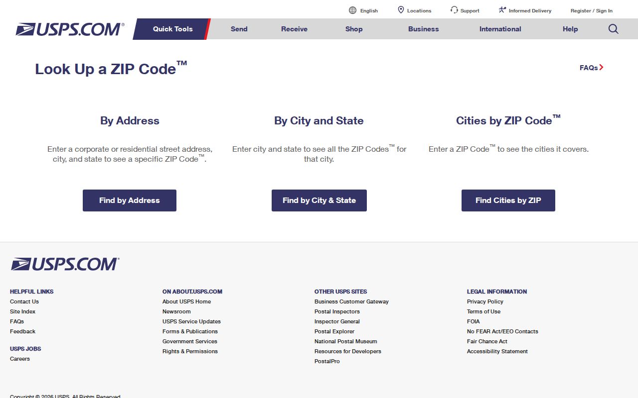
USPS confirms an address and postal label. It does not verify a person or organization at that address, and it does not decide the township jurisdiction.
Union Township ZIP Labels
Union Township is not an incorporated city. Its own departments illustrate why postal geography needs care: the Civic Center and Planning use a Cincinnati 45245 address, while the Service Department uses Amelia 45201. Township agendas also document Batavia and Milford postal labels. The mailing city is a delivery convention, not a county-government boundary. For a property, the Clermont County Auditor and General Mapping application provide the parcel and township context that a postal lookup does not.
This mismatch has a practical effect on search results. A query limited to Cincinnati can leave out Township material carried under a different postal community. A query limited to Union Township can miss how an older directory or an agenda labels the road. Record the full postal address as given, then compare it with the parcel number, situs address, legal description, and map layer.
Union Township’s history page provides the local road, community, and growth context behind those changing labels.
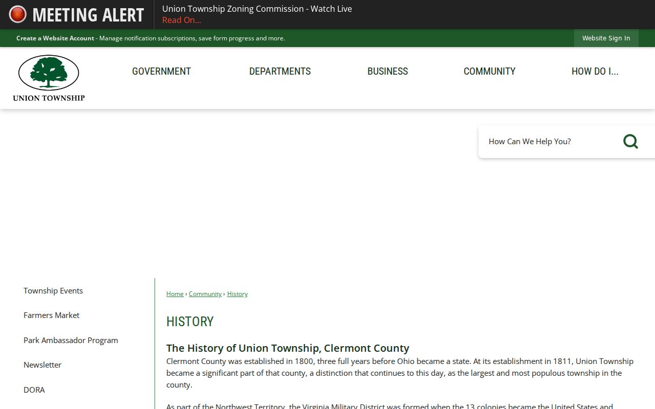
Historic community names remain useful search terms, even when a current envelope uses a different postal city.
Union Township ZIP Boundaries
ZIP boundaries are postal-delivery areas, while Union Township is a civil jurisdiction within Clermont County. The two shapes do not have to align. A deliverable address may carry a Cincinnati, Amelia, Batavia, or Milford label and still map to Union Township in county records. Confirm the postal form through USPS, then separately check the Auditor or GIS township layer. That two-part check matters before requesting a Township zoning record, county tax document, deed, or other address-based material.
- ZIP code
- A postal routing code used to deliver mail. It is not a township or parcel boundary.
- ZIP+4
- An added four-digit delivery detail used with a ZIP code for a more specific mail destination.
- PO-box ZIP
- A code used for post-office boxes; no Union Township PO-box-only code was verified in the research.
- Carrier route
- A postal delivery grouping. It is not proof of property ownership, residency, or jurisdiction.
Union Township Postal Code Search
The Clermont County Auditor’s Combined Property Search is the strongest verified local ZIP-filter option. Its Postal Code field narrows a property and tax-record search. The ordinary Owner, Address, and Parcel ID modes do not display a ZIP filter. A result may identify parcels whose record uses that postal field, but it is not a list of every person who lives in the ZIP. Use the resulting parcel ID, also called a PIN, to move carefully among the Auditor, GIS, tax, and Recorder systems.
| Field | Type | Required | Verified use |
|---|---|---|---|
| Postal Code | Text | No | Available in the Auditor Combined Search mode. |
| Parcel ID | Text | No in Combined mode | All or part accepted; can be paired with other terms. |
| Street | Text | No in Combined mode | Helps narrow a postal-code result to an address. |
| Owner | Text | No in Combined mode | Can be combined with Postal Code; alternate names are an option. |
| Legal and subdivision fields | Text | No | Useful where a historic or plat description is known. |
The Auditor’s real-estate resources link the property-search route with related sales, conveyance, and tax information.

Use the Postal Code field as a parcel filter, then inspect the record card so situs, tax mailing, and legal fields are not blended together.
Find Union Township ZIP Residents
A ZIP code search is best used to narrow an address-based investigation, not to create a household roster. Begin with the official postal check, then use the Auditor’s combined field and the County GIS tools to distinguish the Township from nearby postal communities. The Ohio voter lookup requires first name, last name, and county rather than a public ZIP browse. When a ZIP result leads to one street, the Union Township street directory has the fuller address-record sequence.
- Enter the full address in the USPS lookup and retain the returned ZIP code and postal city.
- Open the Auditor Combined Property Search and enter the Postal Code with a street, owner, parcel, or legal term when available.
- Open the parcel card, preserve the PIN, and compare the physical situs, tax mailing, and legal description fields.
- Use Clermont General Mapping to inspect the parcel, township context, road, and available ZIP or address-point layers.
- For a person-specific official question, use the matching county or state record system and compare independent identifiers.
That order keeps a postal label in its proper role. It narrows a place, while the county record supplies the durable land identifier.
Union Township ZIP Parcel Labels
One ZIP code can occur beside several distinct address concepts in the county record. The situs address is the physical property address. The tax mailing address is where the tax notice is sent, which can be somewhere else. The legal description identifies the parcel in land-record terms, while the PIN is the durable county identifier that crosses between records. Historical sources add a fourth useful label, the post office or community, such as Glen Este, Mt. Carmel, Summerside, Tealtown, or Withamsville.
County General Mapping can search address, parcel ID, owner, and road, then return a mapped parcel with an Auditor link. Its address-point data includes ZIPCODE, city, unit, and emergency-service fields. GIS downloads also include parcels, addresses, ZIP areas, township boundaries, zoning, and precincts. Those layers provide geographic context, but availability can change and a mapped parcel does not establish who currently lives there.
Note: preserve the PIN and legal description when the task reaches deeds or historic mapping, because postal labels are the least stable part of the trail.
Union Township ZIP Code History
Modern ZIP codes do not translate neatly into the older local geography. The 1882, c. 1896, 1902, and 1932-1934 county directory resources use township and post-office context. Their local labels include Glen Este, Mt. Carmel, Summerside, Tealtown, and Withamsville. Historic property-owner maps from about 1870 and 1891 can help connect a road, acreage, or plat to that older geography. A current ZIP code should never be imposed on a nineteenth-century record as if it were printed there.
The Recorder also indexes annexations, street-name changes, centerline surveys, and road vacations. A June 13, 2023 Township agenda documents a vacation of part of Banks Road. That is an address-continuity lead for a specific road record, not proof of a township-wide renumbering. Ask Planning and Zoning or the Recorder for the relevant plat, resolution, or road record if an older address does not align with today’s map.
County GIS data supplies a more precise modern check than the postal label alone. Its address-point material carries ZIPCODE, city, unit, and emergency-service fields, and the dataset uses a Union Township UT zone value alongside those address attributes. Search the road or parcel, then compare the mapped township layer with the postal result. This method helps resolve an address that appears under a nearby city in a directory, agenda, tax notice, or envelope while still falling inside the Township boundary.
Older records need the same separation in reverse. The historic county directories use post-office communities and rural descriptions, while current parcels use a situs address, tax mailing address, legal description, and PIN. None of those older or land-record labels is interchangeable with a ZIP code. When an old location does not fit a current postal search, use the community name with an 1870 or 1891 township map, then compare the road, acreage, plat, tax duplicate, or deed description before assigning it a present postal label.
Union Township ZIP Code Limits
The limits of the available ZIP evidence are important. No official source in the research established every ZIP serving the Township, a universal list of USPS stations, a PO-box-only or unique ZIP, a historic split, or a ZIP-by-ZIP registration statistic. The five documented labels are reliable examples from official Township records, not a claim of complete coverage. A live USPS check remains necessary for each address.
USPS Address and ZIP Lookup accepts an individual address for that live confirmation.
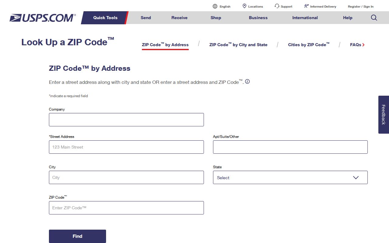
After the postal result is confirmed, the Auditor and GIS records can answer the separate question of whether the address maps to Union Township.
The Union Township Branch of Clermont County Public Library is also a local place to begin a records conversation, catalog search, or general library task before a Batavia archive visit.
The Union Township Branch page lists the branch location, hours, and services.
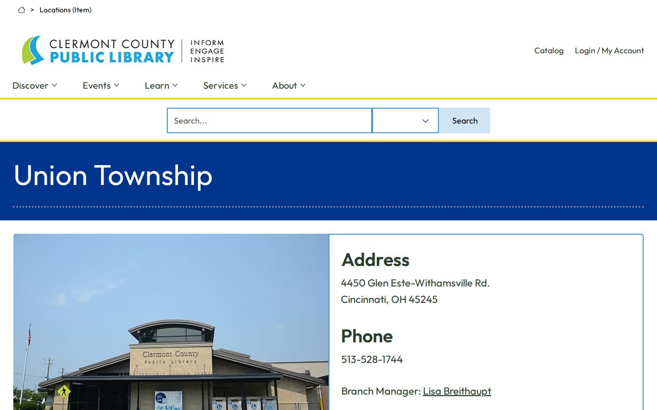
The branch is not a postal authority, but it offers a practical local starting point for catalog access and research support.